Maquoketa Caves State Park is known for its cluster of caves along the Raccoon Creek valley. The park’s modest size is what makes it so enjoyable. You can easily see all 13 caves in a day or simply hike the 7.6 miles of trails at a leisurely pace. If you’re into spelunking there is even more to explore.
The Maquoketa Caves State Park trail system breaks down into three types: Raccoon Creek Valley trails; Raccoon Creek Valley perimeter ridge trails and prairie trails.
The Raccoon Creek Valley trails are where you’ll find all but one of the caves. These trails can be busy, so try hiking on weekdays, morning or evenings for smaller crowds. The valley is lush with a labyrinth of trails that can be a bit confusing if you don’t have an accurate trail map.
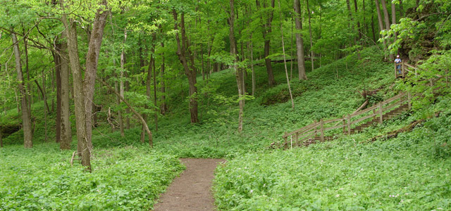
The Raccoon Creek Valley perimeter ridge trails circle the valley and offer scenic views. These ridge trails have fewer people and provide fantastic nature hikes through the forest. Try to find all three gazebo structures on your ridge trail hike.
Two prairie trail systems are located on the east and west sides of the park. These trails are great places to get away from the crowds and observe the wildlife.
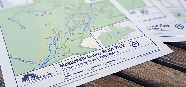
The Maquoketa Caves State Park trail map is one of the most popular on Iowa Parklands. I’ve made an extra effort to make this trail map the most accurate map available. Feel free to leave comments regarding the Maquoketa Caves State Park trail map below.
Leave A Comment